Operation
A unique ability to detect ship movement anomalies based on behavior analysis. In some events such as transshipment, smuggling, oil spill, or incident investigation.

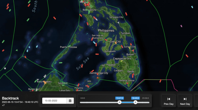
In-Dept View
Glassocean provides time machine and playback facilities that help users to get an in-depth view of events that occurred in the past.

Weather
Information is processed from weather satellite information into a weather model and displayed by end-users in several forms, such as animated particles, weather arrows, and weather isolines.